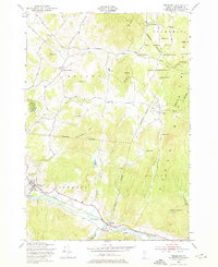
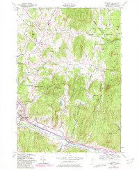
1948 Map of Richmond
USGS Topo · Published 1976About this map
The Winooski River and the Central Vermont railroad corridor define the southern boundary of this late 1940s survey, where the valley floor transitions into the rising slopes of the Green Mountains. The village of Richmond serves as a focal point, noted for the distinctive Old Round Church and the nearby River View Cem. To the north, the landscape is heavily influenced by the Fort Ethan Allen Military Reservation, which occupies a significant portion of the terrain between Jericho Center and West Bolton. This military presence sits in contrast to the rural character of settlements like Nashville and the remote peaks of Stimson Mountain and Mayers Dome. Hikers can trace the route of The Long Trail as it winds across the ridges, passing landmarks such as Bolton Notch and an Airway Beacon, while the Vermont Research Forest Agriculture Experiment Station indicates the area's ongoing engagement with its timber and agricultural resources.
Find a feature on this map
49 named features on this map. Tap any name to fly to it.
Don’t see what you’re looking for? This feature index may not catch every label — zoom into the map to look around manually.
Map Details
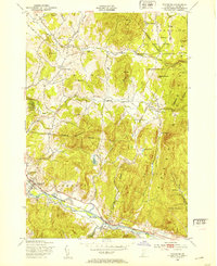
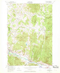
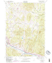
Editions of this 1948 Richmond Map
5 editions found
Other maps of this area

1906 · Burlington
USGS Topo · 1:62,500

1913 · Milton
USGS Topo · 1:48,000

1915 · Milton
USGS Topo · 1:62,500

1919 · Burlington
USGS Topo · 1:62,500

1921 · Richmond
USGS Topo · 1:48,000

1924 · Camels Hump
USGS Topo · 1:62,500

1925 · Mount Mansfield
USGS Topo · 1:48,000

1927 · Mount Mansfield
USGS Topo · 1:62,500

1944 · Milton
USGS Topo · 1:62,500

1944 · Mount Mansfield
USGS Topo · 1:62,500