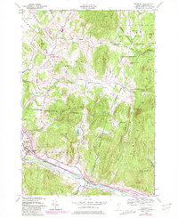
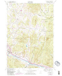
1948 Map of Richmond
USGS Topo · Published 1981About this map
The Winooski River carves a deep valley through the Green Mountains, anchoring the transportation corridor for the Central Vermont railroad. In the mid-20th century, the landscape is defined by clustered settlements like Richmond, where the landmark Old Round Church stands near the riverbanks, and the smaller hamlets of Jonesville and Nashville. The northern reaches of the map are dominated by the Fort Ethan Allen Military Reservation, which includes an Artillery Target Range set against the backdrop of Lee River.
Find a feature on this map
42 named features on this map. Tap any name to fly to it.
Don’t see what you’re looking for? This feature index may not catch every label — zoom into the map to look around manually.
Map Details
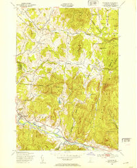
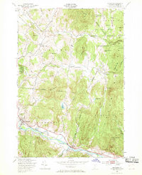
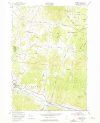
Editions of this 1948 Richmond Map
5 editions found
Other maps of this area

1906 · Burlington
USGS Topo · 1:62,500

1913 · Milton
USGS Topo · 1:48,000

1915 · Milton
USGS Topo · 1:62,500

1919 · Burlington
USGS Topo · 1:62,500

1921 · Richmond
USGS Topo · 1:48,000

1924 · Camels Hump
USGS Topo · 1:62,500

1925 · Mount Mansfield
USGS Topo · 1:48,000

1927 · Mount Mansfield
USGS Topo · 1:62,500

1944 · Milton
USGS Topo · 1:62,500

1944 · Mount Mansfield
USGS Topo · 1:62,500