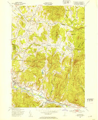
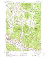
1948 Map of Richmond
USGS Topo · Published 1948About this map
The Winooski River corridor serves as the primary artery for settlement and industry in this Chittenden County landscape. The village of Richmond is a central point of activity, situated along the Central Vermont railroad line and near the distinctive Old Round Church. To the north, the Fort Ethan Allen Military Reservation dominates the high ground, marking a significant military presence in the hills of Jericho. The terrain transitions from the river valley into the prominent Green Mountains, where landmarks like Birnies Nose and Mayers Dome tower over the Lee River and Mill Brook. The survey details a mix of rural life and natural resource extraction, evidenced by various cemeteries, the Vermont Research Forest Agriculture Experiment Station, and a local Quarry. Smaller hamlets like Jericho Center and Nashville remain connected by winding mountain roads that follow the contours of Huckleberry Hill and The Cobble.
Find a feature on this map
38 named features on this map. Tap any name to fly to it.
Don’t see what you’re looking for? This feature index may not catch every label — zoom into the map to look around manually.
Map Details
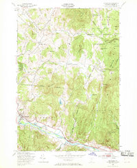
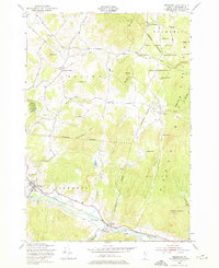
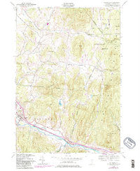
Editions of this 1948 Richmond Map
5 editions found
Other maps of this area

1906 · Burlington
USGS Topo · 1:62,500

1913 · Milton
USGS Topo · 1:48,000

1915 · Milton
USGS Topo · 1:62,500

1919 · Burlington
USGS Topo · 1:62,500

1921 · Richmond
USGS Topo · 1:48,000

1924 · Camels Hump
USGS Topo · 1:62,500

1925 · Mount Mansfield
USGS Topo · 1:48,000

1927 · Mount Mansfield
USGS Topo · 1:62,500

1944 · Milton
USGS Topo · 1:62,500

1944 · Mount Mansfield
USGS Topo · 1:62,500