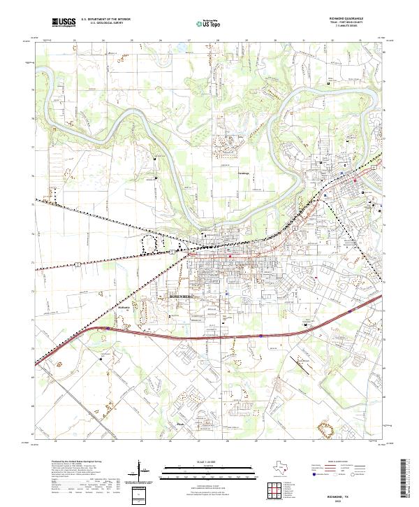
2022 Map of Richmond
USGS Topo · Published 2022About this map
The Brazos River winds through the heart of this landscape, separating the established centers of Rosenberg and Richmond. This era reflects a densely populated county seat characterized by its numerous historic burial grounds, including the large Morton Cem and Davis-Greenlawn Cem, alongside smaller family plots like the Willie Jones Cem and McNabb Cem. The map illustrates a complex transition from suburban residential expansion to the rural outskirts of Pleak and Cumings.
Find a feature on this map
255 named features on this map. Tap any name to fly to it.
Don’t see what you’re looking for? This feature index may not catch every label — zoom into the map to look around manually.
Map Details
Editions of this 2022 Richmond Map
This is the sole edition of this map. No revisions or reprints were ever made.
Other maps of this area

1915 · Clodine
USGS Topo · 1:24,000

1919 · Clodine
USGS Topo · 1:31,680

1950 · Houston
USGS Topo · 1:250,000

1953 · Needville
USGS Topo · 1:24,000

1953 · Lake George
USGS Topo · 1:24,000

1953 · Kendleton
USGS Topo · 1:24,000

1955 · Sugar Land
USGS Topo · 1:62,500

1955 · Richmond
USGS Topo · 1:62,500

1956 · Houston
USGS Topo · 1:250,000
1970 · Clodine
USGS Topo · 1:24,000