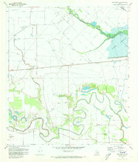
1971 Map of Richmond NE
USGS Topo · Published 1973About this map
The winding meanders of Jones Creek and Flewellen Creek dominate the southern half of this landscape, carving through a region defined by scattered farmsteads and rural congregations. Small community centers such as Spring Green Ch, Wilderness Ch, and Pageville Ch serve the surrounding countryside, while family history is rooted at sites like Briscoe Cem and Goss Cem. The northern portion of the map reveals the massive scale of the Barker Reservoir behind Barker Dam, a critical water management feature near the Harris Co Fort Bend Co line.
Find a feature on this map
32 named features on this map. Tap any name to fly to it.
Don’t see what you’re looking for? This feature index may not catch every label — zoom into the map to look around manually.
Map Details
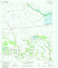
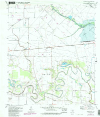
Editions of this 1971 Richmond NE Map
3 editions found
Other maps of this area

1915 · Katy
USGS Topo · 1:24,000

1915 · Addicks
USGS Topo · 1:24,000

1915 · Clodine
USGS Topo · 1:24,000

1918 · Addicks
USGS Topo · 1:31,680

1919 · Clodine
USGS Topo · 1:31,680

1950 · Houston
USGS Topo · 1:250,000
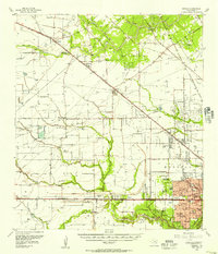
1955 · Addicks
USGS Topo · 1:62,500

1955 · Sugar Land
USGS Topo · 1:62,500

1955 · Brookshire
USGS Topo · 1:62,500

1955 · Richmond
USGS Topo · 1:62,500