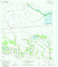
1971 Map of Richmond NE
USGS Topo · Published 1980About this map
The winding courses of Jones Creek, Oyster Creek, and Flewellen Creek define this landscape on the edge of the Houston Corporate Boundary during the 1970s. The transition from agricultural land to oil exploration is evident through the numerous Oil Well symbols and a dedicated Oil Field north of the Southern Pacific tracks. Settlement patterns follow the higher ground near the waterways, with established communities like Gaston and Foster serving as local hubs.
Find a feature on this map
29 named features on this map. Tap any name to fly to it.
Don’t see what you’re looking for? This feature index may not catch every label — zoom into the map to look around manually.
Map Details
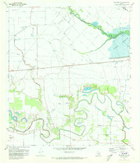
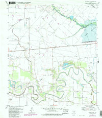
Editions of this 1971 Richmond NE Map
3 editions found
Other maps of this area

1915 · Katy
USGS Topo · 1:24,000

1915 · Addicks
USGS Topo · 1:24,000

1915 · Clodine
USGS Topo · 1:24,000

1918 · Addicks
USGS Topo · 1:31,680

1919 · Clodine
USGS Topo · 1:31,680

1950 · Houston
USGS Topo · 1:250,000
1955 · Addicks
USGS Topo · 1:62,500

1955 · Sugar Land
USGS Topo · 1:62,500

1955 · Brookshire
USGS Topo · 1:62,500

1955 · Richmond
USGS Topo · 1:62,500