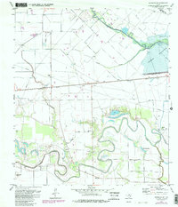
1971 Map of Richmond NE
USGS Topo · Published 1980About this map
Barker Reservoir dominates the eastern landscape of this Fort Bend County region, marking a significant engineering boundary for the growing Houston area. To the west, the Southern Pacific railroad cuts a straight line through the coastal prairie, connecting the small settlement of Gaston to the surrounding cattle and farming country. This map reveals a transition between rural land use and early suburban encroachment, where an extensive Oil Field and numerous pipelines operate alongside established family landmarks and religious centers.
Find a feature on this map
31 named features on this map. Tap any name to fly to it.
Don’t see what you’re looking for? This feature index may not catch every label — zoom into the map to look around manually.
Map Details
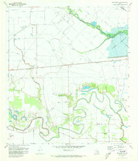
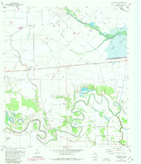
Editions of this 1971 Richmond NE Map
3 editions found
Other maps of this area

1915 · Katy
USGS Topo · 1:24,000

1915 · Addicks
USGS Topo · 1:24,000

1915 · Clodine
USGS Topo · 1:24,000

1918 · Addicks
USGS Topo · 1:31,680

1919 · Clodine
USGS Topo · 1:31,680

1950 · Houston
USGS Topo · 1:250,000
1955 · Addicks
USGS Topo · 1:62,500

1955 · Sugar Land
USGS Topo · 1:62,500

1955 · Brookshire
USGS Topo · 1:62,500

1955 · Richmond
USGS Topo · 1:62,500