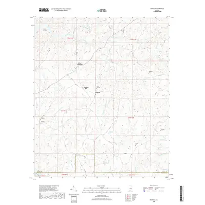
2018 Map of Richville
USGS Topo · Published 2018About this map
Richville and its surrounding rural hamlets define this landscape in the northern hills above the Coosa and Elmore county line. The terrain is deeply etched by a network of waterways including Hatchet Creek, Swamp Creek, and Pinchoulee Cr, which flow through the ridges toward Mitchell Lake. The settlement pattern follows old crossroads and family-named landmarks, such as Travelers Rest and Kellys Crossroads, highlighting the area's history as a series of connected agricultural communities. Several small burial grounds, including Sardis Cem and New Union Cem, are scattered across the quadrangle, serving as vital points of reference for genealogists tracking families in this part of Coosa County. The map also captures the Weogufka Mountains in the northwest, providing a topographic anchor for the numerous creeks and branches that drain the region.
Find a feature on this map
56 named features on this map. Tap any name to fly to it.
Don’t see what you’re looking for? This feature index may not catch every label — zoom into the map to look around manually.
Map Details
Editions of this 2018 Richville Map
This is the sole edition of this map. No revisions or reprints were ever made.
Other maps of this area

1901 · Wetumpka
USGS Topo · 1:125,000

1901 · Wetumpka
USGS Topo · 1:62,500

1903 · Wetumpka
USGS Topo · 1:125,000

1953 · Montgomery
USGS Topo · 1:250,000

1956 · Montgomery
USGS Topo · 1:250,000

1957 · Montgomery
USGS Topo · 1:250,000
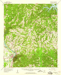
1959 · Wetumpka
USGS Topo · 1:62,500

1959 · Elmore
USGS Topo · 1:62,500

1971 · Richville
USGS Topo · 1:24,000
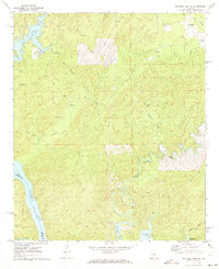
1971 · Mitchell Dam NW
USGS Topo · 1:24,000