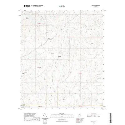
2020 Map of Richville
USGS Topo · Published 2020About this map
Richville and the surrounding rural communities of Kellys Crossroads and Travelers Rest anchor this landscape in central Alabama. The terrain is defined by the Weogufka Mountains in the northwest, giving way to a network of drainage basins including Hatchet Creek and Swamp Creek. The settlement pattern reflects long-standing rural hubs connected by a system of county roads, such as Co Hwy 31 and Co Hwy 37, which navigate the various ridges and creek valleys.
Find a feature on this map
54 named features on this map. Tap any name to fly to it.
Don’t see what you’re looking for? This feature index may not catch every label — zoom into the map to look around manually.
Map Details
Editions of this 2020 Richville Map
This is the sole edition of this map. No revisions or reprints were ever made.
Other maps of this area

1901 · Wetumpka
USGS Topo · 1:125,000

1901 · Wetumpka
USGS Topo · 1:62,500

1903 · Wetumpka
USGS Topo · 1:125,000

1953 · Montgomery
USGS Topo · 1:250,000

1956 · Montgomery
USGS Topo · 1:250,000

1957 · Montgomery
USGS Topo · 1:250,000
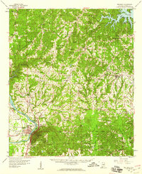
1959 · Wetumpka
USGS Topo · 1:62,500

1959 · Elmore
USGS Topo · 1:62,500

1971 · Richville
USGS Topo · 1:24,000
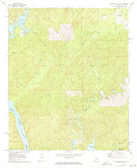
1971 · Mitchell Dam NW
USGS Topo · 1:24,000