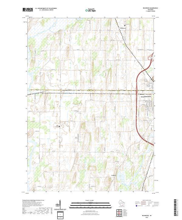
2022 Map of Richwood
USGS Topo · Published 2022About this map
The agricultural landscape of the Dodge and Jefferson County line is defined by the winding paths of the Beaver Dam River and the Crawfish River. This area, north of the city of Watertown, shows a deliberate grid of rural roads such as W Main St and Co Rd Q that connect small settlements like Richwood and Grellton. The survey reveals a terrain shaped by water, where the rivers eventually meet the Rock River near the southern boundary.
Find a feature on this map
77 named features on this map. Tap any name to fly to it.
Don’t see what you’re looking for? This feature index may not catch every label — zoom into the map to look around manually.
Map Details
Editions of this 2022 Richwood Map
This is the sole edition of this map. No revisions or reprints were ever made.
Historical Maps of Jefferson County Through Time
9 maps found

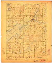
1891 Koshkonong
Jefferson County, WI
1894 Koshkonong
Jefferson County, WI
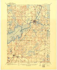
1906 Koshkonong
Jefferson County, WI
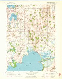
1959 Oconomowoc West
Jefferson County, WI
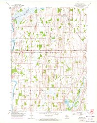
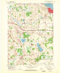
1959 Richwood
Jefferson County, WI
1961 Busseyville
Jefferson County, WI
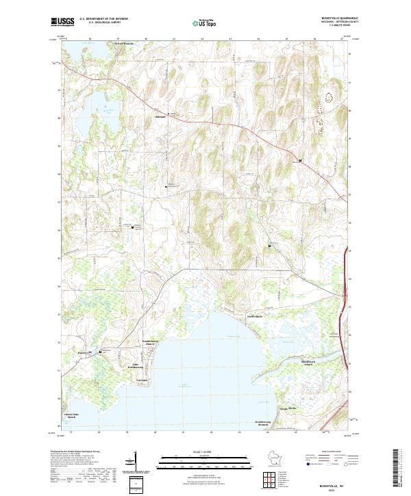
2022 Busseyville
Jefferson County, WI
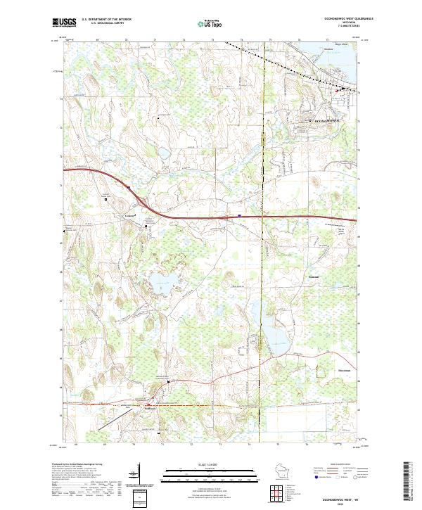
2022 Oconomowoc West
Jefferson County, WI
2022 Richwood
Jefferson County, WI