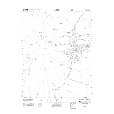
2011 Map of Rico
USGS Topo · Published 2011About this map
Rico occupies a narrow shelf above the Dolores River in this 2011 survey, showing the enduring structure of this San Juan mountain settlement. The town's grid is clustered near the Rico Post Office and Rico Ball Park, surrounded by the evidence of its deep silver-mining history. The density of mining claims and tunnels in the Rico Mountains and on Newman Hill is remarkable, with labels marking the Logan Shaft Mine, Wellington Mine, and Utah Claim.
Find a feature on this map
163 named features on this map. Tap any name to fly to it.
Don’t see what you’re looking for? This feature index may not catch every label — zoom into the map to look around manually.
Map Details
Editions of this 2011 Rico Map
This is the sole edition of this map. No revisions or reprints were ever made.
Other maps of this area

1897 · Rico
USGS Topo · 1:62,500

1897 · Telluride
USGS Topo · 1:62,500

1898 · Engineer Mountain
USGS Topo · 1:62,500

1898 · Rico
USGS Topo · 1:62,500

1899 · Rico
USGS Topo · 1:62,500

1900 · Engineer Mountain
USGS Topo · 1:62,500

1904 · Telluride
USGS Topo · 1:62,500

1908 · Engineer Mountain
USGS Topo · 1:62,500

1945 · Durango
USGS Topo · 1:250,000

1953 · Mount Wilson
USGS Topo · 1:24,000