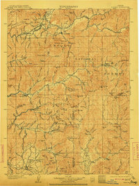
1904 Map of Riddle
USGS Topo · Published 1911About this map
Southern Pacific R. R. (San Francisco and Portland Line) tracks wind through the canyon of Cow Creek, serving as the industrial spine for the rugged terrain of Douglas and Josephine counties. This early twentieth-century landscape is defined by its diverse mining economy, where gold and mineral claims like the Gold Bluff Mine and Klondike Mine dot the slopes of Tellurium Peak and Canyon Mt. In the lower elevations, the Umpqua River flows near Missouri Bottom, providing a contrast to the dense timber of the Umpqua National Forest. The map documents established communities such as Riddles and Canyonville, while also recording rural landmarks like the Pleasant Valley School and the Stage Road, reflecting the transition from pioneer-era transit to the rail-dominated landscape of the new century.
Find a feature on this map
157 named features on this map. Tap any name to fly to it.
Don’t see what you’re looking for? This feature index may not catch every label — zoom into the map to look around manually.
Map Details
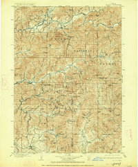
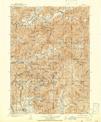
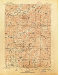
Editions of this 1904 Riddle Map
5 editions found
Other maps of this area

1891 · Ashland
USGS Topo · 1:250,000

1893 · Ashland
USGS Topo · 1:250,000

1897 · Roseburg
USGS Topo · 1:125,000

1897 · Ashland
USGS Topo · 1:250,000

1900 · Roseburg
USGS Topo · 1:125,000

1904 · Riddle
USGS Topo · 1:125,000

1908 · Grants Pass
USGS Topo · 1:125,000

1917 · Kerby
USGS Topo · 1:125,000

1918 · Kerby
USGS Topo · 1:125,000

1928 · Sitkum
USGS Topo · 1:125,000