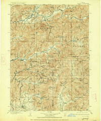
1904 Map of Riddle
USGS Topo · Published 1927About this map
The Southern Pacific RR carves a vital corridor through the mountainous terrain of southern Oregon, connecting settlements from Riddle and Cornutt down to Merlin. This 1901–1902 survey reveals a landscape driven by mineral extraction and early timber management, with the southern reaches of the Umpqua National Forest occupying the eastern heights. The map serves as a detailed record for mining history, pinpointing numerous active sites such as the Star Mine, Lucky Queen, and Orofino Mine tucked into the gulches.
Find a feature on this map
128 named features on this map. Tap any name to fly to it.
Don’t see what you’re looking for? This feature index may not catch every label — zoom into the map to look around manually.
Map Details
Editions of this 1904 Riddle Map
5 editions found
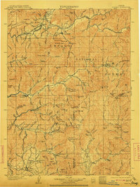
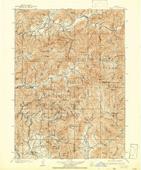
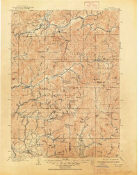
Other maps of this area

1891 · Ashland
USGS Topo · 1:250,000

1893 · Ashland
USGS Topo · 1:250,000

1897 · Roseburg
USGS Topo · 1:125,000

1897 · Ashland
USGS Topo · 1:250,000

1900 · Roseburg
USGS Topo · 1:125,000

1904 · Riddle
USGS Topo · 1:125,000

1908 · Grants Pass
USGS Topo · 1:125,000

1917 · Kerby
USGS Topo · 1:125,000

1918 · Kerby
USGS Topo · 1:125,000

1928 · Sitkum
USGS Topo · 1:125,000