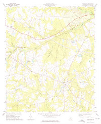
1973 Map of Riddleville
USGS Topo · Published 1991About this map
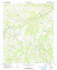
Riddleville sits at a historic crossroads in southern Washington County, where agricultural patterns are defined by the winding course of the Little Ohoopee River and its numerous tributaries. The landscape is dotted with rural congregations, including Henderson Grove Ch, Green Grove Ch, and Jackson Ch, which serve as vital landmarks for genealogists tracing the community's heritage. The Central of Georgia railroad cuts through the terrain, connecting small settlements like Sun Hill and Tanner to the regional economy.
Find a feature on this map
29 named features on this map. Tap any name to fly to it.
Don’t see what you’re looking for? This feature index may not catch every label — zoom into the map to look around manually.
Map Details
Editions of this 1973 Riddleville Map
2 editions found
Other maps of this area

1953 · Athens
USGS Topo · 1:250,000

1957 · Macon
USGS Topo · 1:250,000

1958 · Macon
USGS Topo · 1:250,000

1958 · Athens
USGS Topo · 1:250,000

1959 · Athens
USGS Topo · 1:250,000

1961 · Warthen
USGS Topo · 1:24,000

1962 · Irwins Crossroads
USGS Topo · 1:24,000

1962 · Sandersville
USGS Topo · 1:24,000

1963 · Athens
USGS Topo · 1:250,000

1964 · Macon
USGS Topo · 1:250,000