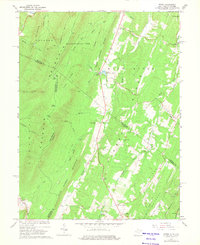
1965 Map of Ridge
USGS Topo · Published 1975About this map
Cacapon State Park dominates the western topography of this 1965 survey, where the Cacapon Mountain range rises sharply above the Cacapon River. The landscape is defined by long, parallel ridges running northeast to southwest, including Warm Spring Ridge, Timber Ridge, and Bear Garden Mountain. This area along the West Virginia and Virginia border showcases a classic ridge-and-valley settlement pattern, with small communities and homesteads established primarily within the narrow lowlands and gaps.
Find a feature on this map
61 named features on this map. Tap any name to fly to it.
Don’t see what you’re looking for? This feature index may not catch every label — zoom into the map to look around manually.
Map Details
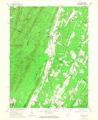
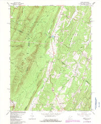
Editions of this 1965 Ridge Map
3 editions found
Other maps of this area

1894 · Winchester
USGS Topo · 1:125,000

1898 · Paw Paw
USGS Topo · 1:62,500

1899 · Hancock
USGS Topo · 1:62,500

1900 · Pawpaw
USGS Topo · 1:62,500

1901 · Hancock
USGS Topo · 1:62,500

1910 · Paw Paw
USGS Topo · 1:62,500

1914 · Gerrardstown
USGS Topo · 1:48,000

1916 · Gerrardstown
USGS Topo · 1:62,500

1916 · Capon Bridge
USGS Topo · 1:62,500

1923 · Capon Bridge
USGS Topo · 1:62,500