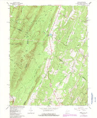
1965 Map of Ridge
USGS Topo · Published 1987About this map
Cacapon State Park anchors the northern high ground of this survey, where the peaks of Cacapon Mountain and Warm Spring Ridge flank the deeply incised valleys of the Potomac Highlands. The map documents a complex borderland where West Virginia and Virginia meet, marked by the convergence of Morgan, Hampshire, and Frederick counties. Notable rural infrastructure includes the State Fish Hatchery at Ridge and a network of community landmarks such as Reynolds Store and Timber Ridge Ch. The terrain is defined by parallel ridges like Timber Ridge and Dick Ridge, which dictated the early road patterns including Railroad Road and Winding Ridge Road. Water resources are central to the landscape, from the prominent Sleepy Creek to smaller features like Bills Pond and the geologic curiosity of Sink Pond.
Find a feature on this map
46 named features on this map. Tap any name to fly to it.
Don’t see what you’re looking for? This feature index may not catch every label — zoom into the map to look around manually.
Map Details
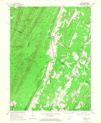
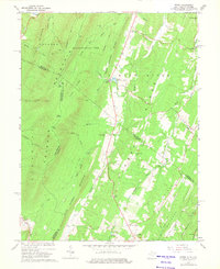
Editions of this 1965 Ridge Map
3 editions found
Other maps of this area

1894 · Winchester
USGS Topo · 1:125,000

1898 · Paw Paw
USGS Topo · 1:62,500

1899 · Hancock
USGS Topo · 1:62,500

1900 · Pawpaw
USGS Topo · 1:62,500

1901 · Hancock
USGS Topo · 1:62,500

1910 · Paw Paw
USGS Topo · 1:62,500

1914 · Gerrardstown
USGS Topo · 1:48,000

1916 · Gerrardstown
USGS Topo · 1:62,500

1916 · Capon Bridge
USGS Topo · 1:62,500

1923 · Capon Bridge
USGS Topo · 1:62,500