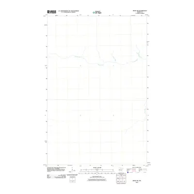
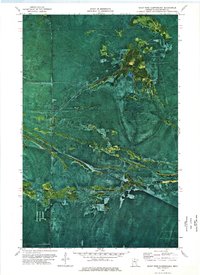
2010 Map of Ridge NW
USGS Topo · Published 2010About this map
Sturgeon River meanders across the northern portion of this Koochiching County landscape, defining the primary drainage pattern of this largely undeveloped stretch of Northern Minnesota. The terrain is notably sparse, reflecting a period of preservation or slow growth where natural watercourses remained the dominant features on the land. In the eastern reaches, Hay Creek flows northward, joining the intricate network of tributaries that characterize this region. This 2010 edition by the U.S. Geological Survey provides a precise record of the hydrography and elevation contours, serving as a baseline for understanding the physical geography of the area before modern infrastructure expansion or climate-driven changes altered these historic waterways.
Find a feature on this map
2 named features on this map. Tap any name to fly to it.
Don’t see what you’re looking for? This feature index may not catch every label — zoom into the map to look around manually.
Map Details
Editions of this 2010 Ridge NW Map
This is the sole edition of this map. No revisions or reprints were ever made.
Other maps of this area

1919 · Lundgren
USGS Topo · 1:62,500

1919 · Norden
USGS Topo · 1:62,500

1919 · I
USGS Topo · 1:62,500

1954 · Roseau
USGS Topo · 1:250,000

1957 · Roseau
USGS Topo · 1:250,000

1958 · Roseau
USGS Topo · 1:250,000
1973 · Ridge SW
USGS Topo · 1:24,000
1973 · Ridge NW
USGS Topo · 1:24,000
1973 · Norman Lake SE
USGS Topo · 1:24,000
1973 · Giant Pine Campground
USGS Topo · 1:24,000