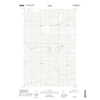
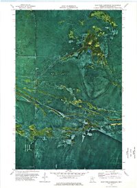
2019 Map of Ridge NW
USGS Topo · Published 2019About this map
Sturgeon River meanders across this northern Minnesota landscape, defining much of the local drainage pattern within the North Woods. The terrain is characterized by the low-lying topographic feature known as the Ridge, which subtly influences the flow of seasonal waters like Hay Cr. This 2019 survey documents the intricate network of wetlands and watercourses that dominate the township sections of T155N and T154N. The sparse infrastructure and expansive hydrological features reflect a wilderness character where the movement of water across the flat, forested terrain is the primary surveyor of the land.
Find a feature on this map
7 named features on this map. Tap any name to fly to it.
Don’t see what you’re looking for? This feature index may not catch every label — zoom into the map to look around manually.
Map Details
Editions of this 2019 Ridge NW Map
This is the sole edition of this map. No revisions or reprints were ever made.
Other maps of this area

1919 · Lundgren
USGS Topo · 1:62,500

1919 · Norden
USGS Topo · 1:62,500

1919 · I
USGS Topo · 1:62,500

1954 · Roseau
USGS Topo · 1:250,000

1957 · Roseau
USGS Topo · 1:250,000

1958 · Roseau
USGS Topo · 1:250,000
1973 · Ridge SW
USGS Topo · 1:24,000
1973 · Ridge NW
USGS Topo · 1:24,000
1973 · Norman Lake SE
USGS Topo · 1:24,000
1973 · Giant Pine Campground
USGS Topo · 1:24,000