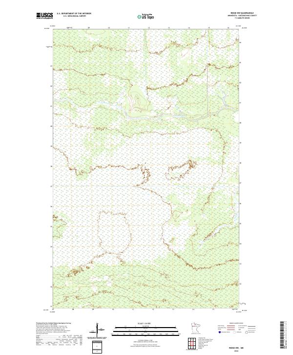
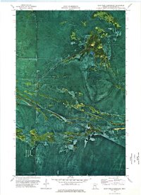
2022 Map of Ridge NW
USGS Topo · Published 2022About this map
Sturgeon River winds through the northern portion of this Koochiching County landscape, a region defined by extensive wetlands and subtle elevation changes. The land is characterized by the presence of Ridge, a distinct terrain feature that rises above the surrounding lowlands. Smaller tributaries like Hay Cr drain into the primary water systems, reflecting the complex hydrology of northern Minnesota. This 2022 survey demonstrates the modern land-division patterns of Townships 154 and 155 North, where the natural terrain remains largely undeveloped and dominated by the seasonal variations of the river and creek systems.
Find a feature on this map
7 named features on this map. Tap any name to fly to it.
Don’t see what you’re looking for? This feature index may not catch every label — zoom into the map to look around manually.
Map Details
Editions of this 2022 Ridge NW Map
This is the sole edition of this map. No revisions or reprints were ever made.
Other maps of this area

1919 · Lundgren
USGS Topo · 1:62,500

1919 · Norden
USGS Topo · 1:62,500

1919 · I
USGS Topo · 1:62,500

1954 · Roseau
USGS Topo · 1:250,000

1957 · Roseau
USGS Topo · 1:250,000

1958 · Roseau
USGS Topo · 1:250,000
1973 · Ridge SW
USGS Topo · 1:24,000
1973 · Ridge NW
USGS Topo · 1:24,000
1973 · Norman Lake SE
USGS Topo · 1:24,000
1973 · Giant Pine Campground
USGS Topo · 1:24,000