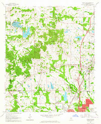
1963 Map of Ridgeland
USGS Topo · Published 1964About this map
Tougaloo Southern Christian College stands as a focal point in the southern portion of this landscape, situated just north of the Jackson city limits. This early 1960s perspective captures a period of suburban expansion and institutional growth along the Illinois Central railroad corridor. The settlement patterns are anchored by numerous community churches, including China Grove Ch, New Hope Grove Ch, and Rocky Hill Ch, reflecting the area's rural social fabric before widespread development.
Find a feature on this map
54 named features on this map. Tap any name to fly to it.
Don’t see what you’re looking for? This feature index may not catch every label — zoom into the map to look around manually.
Map Details
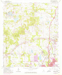
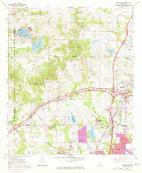
Editions of this 1963 Ridgeland Map
3 editions found
Other maps of this area

1903 · Jackson
USGS Topo · 1:125,000

1905 · Jackson
USGS Topo · 1:48,000

1908 · Jackson
USGS Topo · 1:62,500

1934 · Raymond
USGS Topo · 1:48,000

1937 · Raymond
USGS Topo · 1:62,500

1942 · Raymond
USGS Topo · 1:62,500

1955 · Jackson
USGS Topo · 1:250,000

1961 · Jackson
USGS Topo · 1:250,000

1961 · Canton
USGS Topo · 1:62,500

1962 · Jackson
USGS Topo · 1:250,000