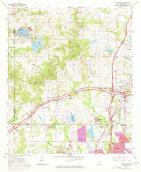
1963 Map of Ridgeland
USGS Topo · Published 1972About this map
The boundary between Madison County and Hinds County cuts through this landscape during a period of significant suburban development and institutional growth. The campus of Tougaloo Southern Christian College serves as a major focal point in the south, situated near the Illinois Central tracks and the emerging northern edge of Jackson. The era’s expansion is evident in the purple-shaded residential corridors such as Adkins Blvd and Briarfield Rd, contrasted against the more rural northern reaches. Water management and recreation are central to the terrain, marked by the presence of Lake Lorman and Lake Cavalier. The historic Natchez Trace Parkway angles across the sheet, providing a modern thoroughfare that follows an ancient route, connecting the newer developments of Ridgeland and Madison with the rural churches like New Hope Grove Ch that anchored earlier settlements.
Find a feature on this map
54 named features on this map. Tap any name to fly to it.
Don’t see what you’re looking for? This feature index may not catch every label — zoom into the map to look around manually.
Map Details
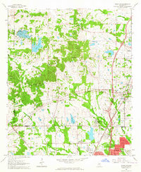
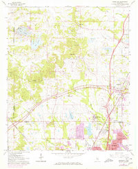
Editions of this 1963 Ridgeland Map
3 editions found
Other maps of this area

1903 · Jackson
USGS Topo · 1:125,000

1905 · Jackson
USGS Topo · 1:48,000

1908 · Jackson
USGS Topo · 1:62,500

1934 · Raymond
USGS Topo · 1:48,000

1937 · Raymond
USGS Topo · 1:62,500

1942 · Raymond
USGS Topo · 1:62,500

1955 · Jackson
USGS Topo · 1:250,000

1961 · Jackson
USGS Topo · 1:250,000

1961 · Canton
USGS Topo · 1:62,500

1962 · Jackson
USGS Topo · 1:250,000