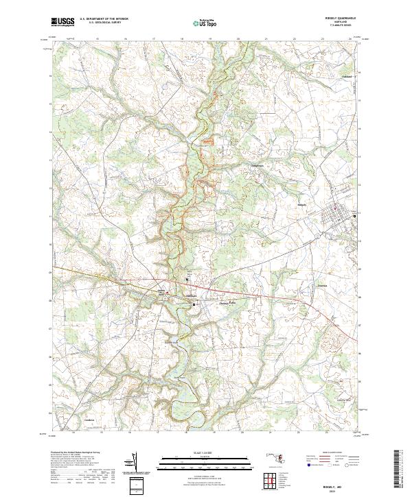
2023 Map of Ridgely
USGS Topo · Published 2023About this map
Tuckahoe Creek and its many winding tributaries, including Blackston Branch and Mason Branch, define the agricultural landscape of the Maryland Eastern Shore on the borders of Queen Anne's, Caroline, and Talbot counties. This modern topographic survey details the long-standing rural settlements of Hillsboro, Queen Anne, and Ridgely, highlighting the area's ecclesiastical and local history through landmarks like Saint Pauls Episcopal Cem and Green Mount Cem.
Find a feature on this map
106 named features on this map. Tap any name to fly to it.
Don’t see what you’re looking for? This feature index may not catch every label — zoom into the map to look around manually.
Map Details
Editions of this 2023 Ridgely Map
This is the sole edition of this map. No revisions or reprints were ever made.
Other maps of this area

1898 · Choptank
USGS Topo · 1:125,000

1898 · Tolchester
USGS Topo · 1:125,000

1899 · Dover
USGS Topo · 1:125,000

1901 · Chestertown
USGS Topo · 1:62,500

1903 · Tolchester
USGS Topo · 1:125,000

1904 · St. Michaels
USGS Topo · 1:62,500

1905 · Denton
USGS Topo · 1:62,500

1905 · Barclay
USGS Topo · 1:62,500

1906 · Dover
USGS Topo · 1:125,000

1908 · Tolchester
USGS Topo · 1:125,000