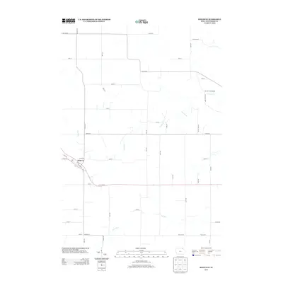
2013 Map of Ridgeway
USGS Topo · Published 2013About this map
Ridgeway serves as the primary hub in this portion of Winneshiek County, situated where the local street grid including Railroad St and Pike St meets the rural road network. The landscape is defined by the winding paths of several waterways, most notably Ten Mile Creek, which is crossed by the Ten Mile Creek Bridge in the eastern section of the quadrangle. Other drainage patterns are established by Walnut Creek, Burr Oak Creek, and Dry Run, illustrating the hydrologic character of the Iowa terrain.
Find a feature on this map
46 named features on this map. Tap any name to fly to it.
Don’t see what you’re looking for? This feature index may not catch every label — zoom into the map to look around manually.
Map Details
Editions of this 2013 Ridgeway Map
This is the sole edition of this map. No revisions or reprints were ever made.
Other maps of this area

1906 · Decorah
USGS Topo · 1:125,000

1954 · Mason City
USGS Topo · 1:250,000

1957 · Mason City
USGS Topo · 1:250,000

1958 · Mason City
USGS Topo · 1:250,000

1958 · La Crosse
USGS Topo · 1:250,000

1961 · La Crosse
USGS Topo · 1:250,000

1965 · La Crosse
USGS Topo · 1:250,000

1975 · Decorah 2 NW
USGS Topo · 1:24,000

1975 · Decorah 3 NW
USGS Topo · 1:24,000
1975 · Decorah 2 NE
USGS Topo · 1:24,000