Loading...
Loading map...2022 Map of Ridgeway
USGS Topo · Published 2022About this map
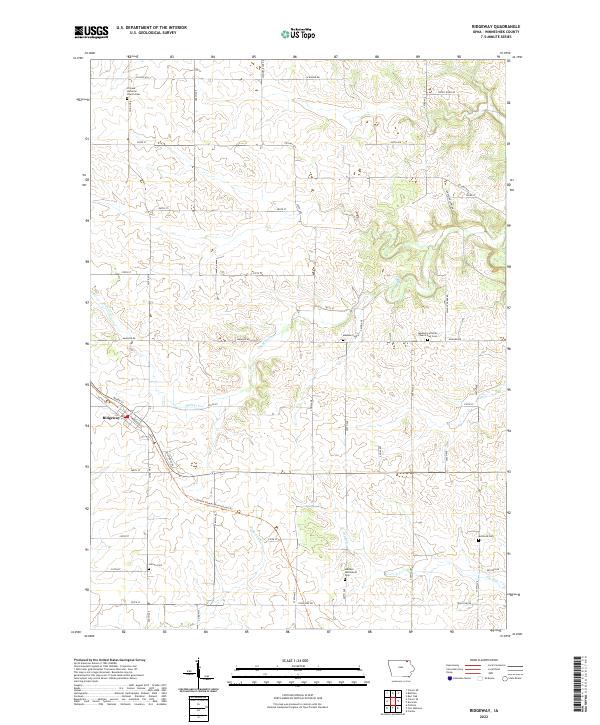
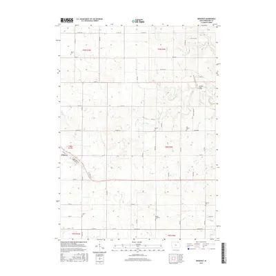
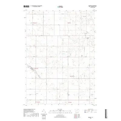
Ridgeway serves as the primary hub for this portion of Winneshiek County, where the grid of the town site meets the diagonal path of Railroad St. The surrounding landscape is defined by the drainages of Walnut Cr and Ten Mile Cr, which cut through the agricultural sections of the Iowa countryside. This area is notably dense with localized burial grounds and community centers, reflecting a deeply rooted settlement pattern.
Find a feature on this map
41 named features on this map. Tap any name to fly to it.
Don’t see what you’re looking for? This feature index may not catch every label — zoom into the map to look around manually.
Map Details
Date Portrayed2022
Date Published2022
PublisherU.S. Geological Survey
Map TypeTopographic
Scale1:24,000
Physical Dimensions24 x 29 inches
Editions of this 2022 Ridgeway Map
This is the sole edition of this map. No revisions or reprints were ever made.
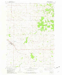
Historical Maps of Ridgeway Through Time
6 maps found
Featured Locations
Source Details
SourceU.S. Geological Survey
CopyrightPublic Domain