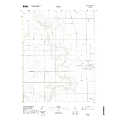
2021 Map of Ridgway
USGS Topo · Published 2021About this map
The North Fork Saline River snakes through the center of this southern Illinois landscape, its meandering course defining the rural character of the region. To the east, the village of Ridgway serves as a local hub, where a systematic grid of streets including E Main St and E Cedar St meets the open agricultural fields. The map reveals a dense network of country burial grounds and small spiritual centers that speak to the area's long-settled heritage, such as Saint Josephs Cem and the Oak Grove Church. Further west, the small settlement of Elba is situated near the confluence of White Oak Cr and the river. Numerous family-named roads like Barefoot Jones Ln and Stahlies Ln suggest a landscape where land ownership and community ties have remained consistent over generations.
Find a feature on this map
71 named features on this map. Tap any name to fly to it.
Don’t see what you’re looking for? This feature index may not catch every label — zoom into the map to look around manually.
Map Details
Editions of this 2021 Ridgway Map
This is the sole edition of this map. No revisions or reprints were ever made.
Other maps of this area

1905 · Eldorado
USGS Topo · 1:62,500

1905 · New Haven
USGS Topo · 1:62,500

1906 · New Haven
USGS Topo · 1:62,500

1906 · Eldorado
USGS Topo · 1:62,500

1916 · Shawneetown
USGS Topo · 1:62,500

1916 · Equality
USGS Topo · 1:62,500

1949 · Paducah
USGS Topo · 1:250,000

1949 · New Haven
USGS Topo · 1:62,500

1950 · Paducah
USGS Topo · 1:250,000

1954 · Paducah
USGS Topo · 1:250,000