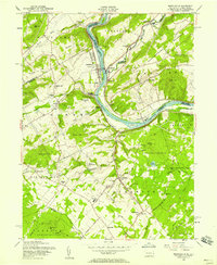
1956 Map of Riegelsville
USGS Topo · Published 1958About this map
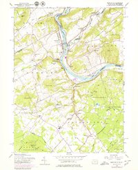
Durham Furnace stands as a focal point of industrial history near the banks of the Delaware River on this mid-century survey. The landscape is defined by the steep ridges of Pohatcong Mountain and Musconetcong Mountain, which channel the Musconetcong River toward its confluence with the Delaware. Local transport and commerce are traced through the presence of the Pennsylvania Canal (Abandoned) and the clustered settlements of Riegelsville and Durham.
Find a feature on this map
78 named features on this map. Tap any name to fly to it.
Don’t see what you’re looking for? This feature index may not catch every label — zoom into the map to look around manually.
Map Details
Editions of this 1956 Riegelsville Map
6 editions found
Other maps of this area

1888 · Quakertown
USGS Topo · 1:62,500

1890 · Easton
USGS Topo · 1:62,500

1890 · Doylestown
USGS Topo · 1:62,500

1890 · Quakertown
USGS Topo · 1:62,500

1891 · Easton
USGS Topo · 1:62,500

1891 · Doylestown
USGS Topo · 1:62,500

1894 · Allentown
USGS Topo · 1:62,500

1894 · Quakertown
USGS Topo · 1:62,500

1932 · Easton
USGS Topo · 1:62,500

1939 · Allentown
USGS Topo · 1:62,500