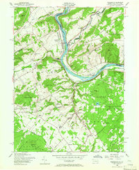
1956 Map of Riegelsville
USGS Topo · Published 1966About this map
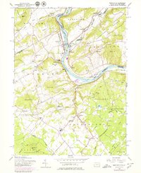
Delaware River currents divide Pennsylvania and New Jersey on this mid-century survey, anchoring a region defined by river-based industry and valley settlements. The borough of Riegelsville serves as a central hub, where the Pennsylvania Railroad and Lehigh Valley Railroad trace the banks near landmarks like Mount Joy. This landscape is particularly dense with features of interest to local historians, including the Durham Union Ch and Durham Sch in the Durham district, and the namesake Hexenkopf Rock rising in the northwest.
Find a feature on this map
75 named features on this map. Tap any name to fly to it.
Don’t see what you’re looking for? This feature index may not catch every label — zoom into the map to look around manually.
Map Details
Editions of this 1956 Riegelsville Map
6 editions found
Other maps of this area

1888 · Quakertown
USGS Topo · 1:62,500

1890 · Easton
USGS Topo · 1:62,500

1890 · Doylestown
USGS Topo · 1:62,500

1890 · Quakertown
USGS Topo · 1:62,500

1891 · Easton
USGS Topo · 1:62,500

1891 · Doylestown
USGS Topo · 1:62,500

1894 · Allentown
USGS Topo · 1:62,500

1894 · Quakertown
USGS Topo · 1:62,500

1932 · Easton
USGS Topo · 1:62,500

1939 · Allentown
USGS Topo · 1:62,500