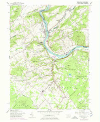
1956 Map of Riegelsville
USGS Topo · Published 1974About this map
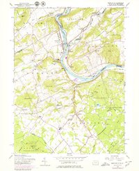
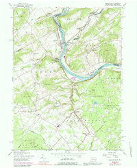
Delaware River currents divide Pennsylvania and New Jersey at the midpoint of this survey, where the industry of the past is still etched onto the landscape. The river valley is punctuated by several significant landmarks, most notably the site of Durham Furnace near the mouth of Durham Creek. This industrial legacy is set against a backdrop of small rural communities like Riegelsville, Kintnersville, and Ferndale. The terrain is characterized by distinctive elevations such as Rattlesnake Hill and Chestnut Hill, while the Penn Central rail line tracks the river's path, emphasizing the corridor's role in regional transport.
Find a feature on this map
79 named features on this map. Tap any name to fly to it.
Don’t see what you’re looking for? This feature index may not catch every label — zoom into the map to look around manually.
Map Details
Editions of this 1956 Riegelsville Map
6 editions found
Other maps of this area

1888 · Quakertown
USGS Topo · 1:62,500

1890 · Easton
USGS Topo · 1:62,500

1890 · Doylestown
USGS Topo · 1:62,500

1890 · Quakertown
USGS Topo · 1:62,500

1891 · Easton
USGS Topo · 1:62,500

1891 · Doylestown
USGS Topo · 1:62,500

1894 · Allentown
USGS Topo · 1:62,500

1894 · Quakertown
USGS Topo · 1:62,500

1932 · Easton
USGS Topo · 1:62,500

1939 · Allentown
USGS Topo · 1:62,500