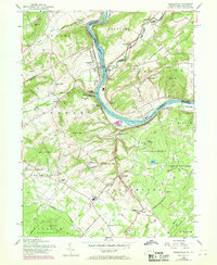
1956 Map of Riegelsville
USGS Topo · Published 1969About this map
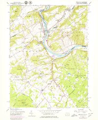
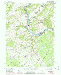
Riegelsville and the winding Delaware River anchor this mid-century topographic survey, documenting the transition between Bucks and Northampton Counties in Pennsylvania and their neighbors across the water in New Jersey. The industrial legacy of the region is evident at the Durham Furnace site, while the cultural landscape is marked by numerous country churches such as Durham Union Ch and St Lukes Ch. The topography is defined by significant elevations including Hexenkopf Hill and Musconetcong Mountain, which overlook the river valley and the Penn Central rail line.
Find a feature on this map
73 named features on this map. Tap any name to fly to it.
Don’t see what you’re looking for? This feature index may not catch every label — zoom into the map to look around manually.
Map Details
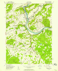
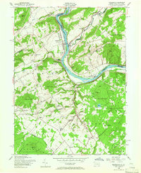
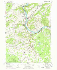
Editions of this 1956 Riegelsville Map
6 editions found
Other maps of this area

1888 · Quakertown
USGS Topo · 1:62,500

1890 · Easton
USGS Topo · 1:62,500

1890 · Doylestown
USGS Topo · 1:62,500

1890 · Quakertown
USGS Topo · 1:62,500

1891 · Easton
USGS Topo · 1:62,500

1891 · Doylestown
USGS Topo · 1:62,500

1894 · Allentown
USGS Topo · 1:62,500

1894 · Quakertown
USGS Topo · 1:62,500

1932 · Easton
USGS Topo · 1:62,500

1939 · Allentown
USGS Topo · 1:62,500