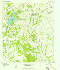
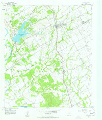
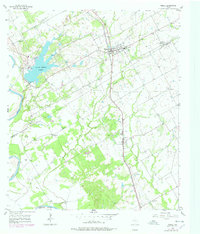
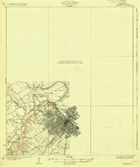
1957 Map of Riesel
USGS Topo · Published 1958About this map
Riesel and the surrounding agricultural lands of McLennan and Falls counties are defined by a complex network of rail and water in the late 1950s. The Texas and New Orleans and Missouri Kansas and Texas railroads intersect the landscape, supporting the area's rural economy near the Blackland Experimental Watershed. To the west, the Lake Creek Lake reservoir and the winding Brazos River dominate the topography, with a prominent Powerhouse located near the lake's edge. The map reveals a deeply rooted community structure, evidenced by numerous rural institutions such as Springhill Ch, Sunset Sch, and Hebron Sch. These sites, along with several family and community burial grounds like Friedens Cem and Nazare Cem, offer significant details for researchers tracing the mid-century settlement patterns and social geography of this Central Texas region.
Find a feature on this map
31 named features on this map. Tap any name to fly to it.
Don’t see what you’re looking for? This feature index may not catch every label — zoom into the map to look around manually.
Map Details
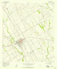
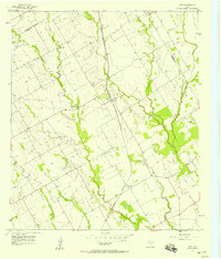
Editions of this 1957 Riesel Map
3 editions found
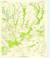
Other maps of this area

1892 · Temple
USGS Topo · 1:125,000

1892 · Waco
USGS Topo · 1:125,000

1920 · Waco
USGS Topo · 1:125,000
1920 · Mart
USGS Topo · 1:62,500
1931 · Elm Mott
USGS Topo · 1:62,500

1954 · Waco
USGS Topo · 1:250,000

1955 · Waco
USGS Topo · 1:250,000
1956 · Mart
USGS Topo · 1:24,000
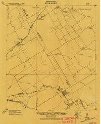
1957 · Otto
USGS Topo · 1:24,000
1957 · McClanahan
USGS Topo · 1:24,000