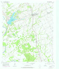
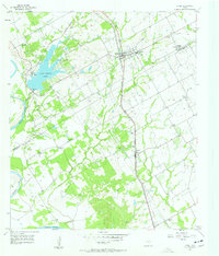
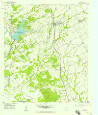
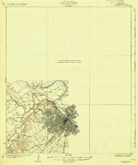
1957 Map of Riesel
USGS Topo · Published 1978About this map
Riesel serves as the primary hub on this central Texas landscape, positioned along the Missouri Pacific railroad. The map illustrates a agricultural and research-focused environment, notably containing the Blackland Experimental Watershed (Headquarters) near the boundary between McLennan Co and Falls Co. This area is characterized by a dense network of country churches and schools that anchored small rural communities, including Nazare Ch, Trinity Ch, and Hebron Sch.
Find a feature on this map
25 named features on this map. Tap any name to fly to it.
Don’t see what you’re looking for? This feature index may not catch every label — zoom into the map to look around manually.
Map Details
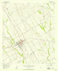
Editions of this 1957 Riesel Map
3 editions found
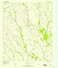
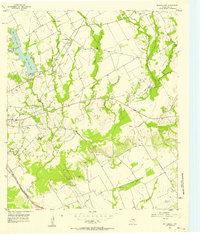
Other maps of this area

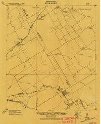
1892 · Temple
USGS Topo · 1:125,000

1892 · Waco
USGS Topo · 1:125,000

1920 · Waco
USGS Topo · 1:125,000
1920 · Mart
USGS Topo · 1:62,500
1931 · Elm Mott
USGS Topo · 1:62,500

1954 · Waco
USGS Topo · 1:250,000

1955 · Waco
USGS Topo · 1:250,000
1956 · Mart
USGS Topo · 1:24,000
1957 · Otto
USGS Topo · 1:24,000
1957 · McClanahan
USGS Topo · 1:24,000