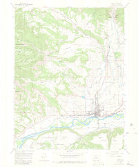
1952 Map of Rifle
USGS Topo · Published 1981About this map
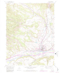
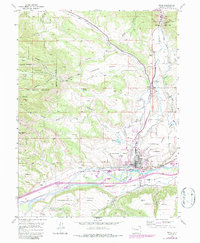
Rifle sits at a geographic crossroads in Garfield County, positioned where the industrial corridor of the Denver and Rio Grande Western railroad meets the agricultural and extraction landscapes of the Colorado River valley. The 1952 field survey reveals a town transitioning from its frontier roots toward a mid-century industrial economy, evidenced by the Vanadium Mill and a nearby Coal Mine (Abandoned). North of the settlement, the terrain climbs steeply through several named landforms, including Prefontaine Mesa and Hubbard Mesa, leading into the vast Naval Oil Shale Reserve.
Find a feature on this map
39 named features on this map. Tap any name to fly to it.
Don’t see what you’re looking for? This feature index may not catch every label — zoom into the map to look around manually.
Map Details
Editions of this 1952 Rifle Map
7 editions found
Other maps of this area

1906 · Grand Hogback
USGS Topo · 1:125,000

1910 · Grand Hogback
USGS Topo · 1:125,000

1952 · Rio Blanco
USGS Topo · 1:24,000

1952 · Anvil Points
USGS Topo · 1:24,000

1952 · Horse Mountain
USGS Topo · 1:24,000

1952 · Rifle
USGS Topo · 1:24,000

1957 · Leadville
USGS Topo · 1:250,000

1959 · Leadville
USGS Topo · 1:250,000

1960 · Leadville
USGS Topo · 1:250,000

1960 · North Mamm Peak
USGS Topo · 1:24,000