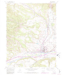
1952 Map of Rifle
USGS Topo · Published 1984About this map
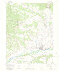
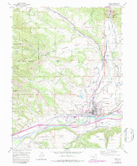
The town of Rifle serves as the focal point of this Garfield County study, situated where Rifle Creek meets the Colorado River. The landscape is defined by its dramatic shelf-like formations, including Hubbard Mesa, Prefontaine Mesa, and Taughenbaugh Mesa, which reflect the region’s complex geologic profile. A significant portion of the western territory is designated as the Naval Oil Shale Reserve, underscoring the era's strategic focus on energy resources. Industrial and agricultural lifelines are visible through the Denver and Rio Grande Western railroad and an intricate network of irrigation channels like the Pioneer Ditch and Davie Ditch. Local community sites such as the Rifle Cem and the Rifle Creek Community Club provide touchpoints for genealogical research, while the north is marked by the Rifle Gap State Recreation Area and a Coal Mine (abandoned).
Find a feature on this map
50 named features on this map. Tap any name to fly to it.
Don’t see what you’re looking for? This feature index may not catch every label — zoom into the map to look around manually.
Map Details
Editions of this 1952 Rifle Map
7 editions found
Other maps of this area

1906 · Grand Hogback
USGS Topo · 1:125,000

1910 · Grand Hogback
USGS Topo · 1:125,000

1952 · Rio Blanco
USGS Topo · 1:24,000

1952 · Anvil Points
USGS Topo · 1:24,000

1952 · Horse Mountain
USGS Topo · 1:24,000

1952 · Rifle
USGS Topo · 1:24,000

1957 · Leadville
USGS Topo · 1:250,000

1959 · Leadville
USGS Topo · 1:250,000

1960 · Leadville
USGS Topo · 1:250,000

1960 · North Mamm Peak
USGS Topo · 1:24,000