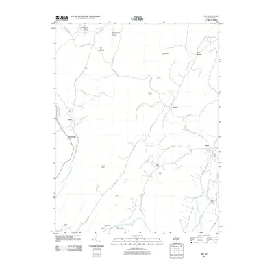
2011 Map of Rig
USGS Topo · Published 2011About this map
Arthur and Seymourville serve as primary anchors in this rural landscape, situated along the north-south corridors west of the South Branch Potomac River. The area is characterized by a network of small agricultural and residential nodes such as Rig, Fisher, and Kessel, each once centered around their respective postal facilities like the Rig Post Office and Fisher Post Office. The drainage patterns of Patterson Creek and Lunice Creek dictate the local geography, with flood control infrastructure like the Patterson Creek Structure One Dam and Patterson Creek Structure Two Dam present in the northern reaches.
Find a feature on this map
47 named features on this map. Tap any name to fly to it.
Don’t see what you’re looking for? This feature index may not catch every label — zoom into the map to look around manually.
Map Details
Editions of this 2011 Rig Map
This is the sole edition of this map. No revisions or reprints were ever made.
Other maps of this area

1891 · Romney
USGS Topo · 1:125,000

1892 · Franklin
USGS Topo · 1:125,000

1892 · Woodstock
USGS Topo · 1:125,000

1895 · Piedmont
USGS Topo · 1:125,000

1896 · Franklin
USGS Topo · 1:125,000

1920 · Petersburg
USGS Topo · 1:48,000

1920 · Moorefield
USGS Topo · 1:62,500

1921 · Orkney Springs
USGS Topo · 1:48,000

1921 · Petersburg
USGS Topo · 1:48,000

1921 · Greenland Gap
USGS Topo · 1:62,500