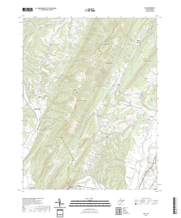
2023 Map of Rig
USGS Topo · Published 2023About this map
Patterson Creek Mountain serves as a massive central spine on this West Virginia survey, defining the rugged boundary between Grant and Hardy Counties. This ridge separates the drainage of Lunice Creek and Patterson Creek in the west from the South Branch Potomac River valley in the east. Small mountain communities and family-named hollows like Walnut Bottom and Kessel are connected by a network of winding roads, including Frye School Rd and Walnut Bottom Rd. The landscape is dotted with named water sources such as Burnt House Spring, Warner Spring, and Bensenhaver Spring, which likely supported early homesteads in these narrow valleys. To the south, the terrain descends toward Petersburg, where the river and local roads converge near Orrs Mountain, illustrating the deep historical reliance on natural gaps for regional travel.
Find a feature on this map
75 named features on this map. Tap any name to fly to it.
Don’t see what you’re looking for? This feature index may not catch every label — zoom into the map to look around manually.
Map Details
Editions of this 2023 Rig Map
This is the sole edition of this map. No revisions or reprints were ever made.
Other maps of this area

1891 · Romney
USGS Topo · 1:125,000

1892 · Franklin
USGS Topo · 1:125,000

1892 · Woodstock
USGS Topo · 1:125,000

1895 · Piedmont
USGS Topo · 1:125,000

1896 · Franklin
USGS Topo · 1:125,000

1920 · Petersburg
USGS Topo · 1:48,000

1920 · Moorefield
USGS Topo · 1:62,500

1921 · Orkney Springs
USGS Topo · 1:48,000

1921 · Petersburg
USGS Topo · 1:48,000

1921 · Greenland Gap
USGS Topo · 1:62,500