
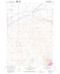
1950 Map of Rigby SE
USGS Topo · Published 1976About this map
Harrison Canal and a dense network of irrigation infrastructure define the agricultural landscape of this Idaho territory at mid-century. This 1950 survey shows how water was diverted from the Snake River valley to support the high desert plateau, featuring the South Branch Farmers Friend Canal, Anderson Canal, and the Enterprise Canal. These engineering efforts transformed the terrain surrounding Willow Creek, enabling operations like the Milo Dry Farm.
Find a feature on this map
21 named features on this map. Tap any name to fly to it.
Don’t see what you’re looking for? This feature index may not catch every label — zoom into the map to look around manually.
Map Details
Editions of this 1950 Rigby SE Map
2 editions found
Other maps of this area

1924 · Hell Creek
USGS Topo · 1:62,500

1924 · Ammon
USGS Topo · 1:62,500

1926 · Hell Creek
USGS Topo · 1:62,500

1948 · Rigby
USGS Topo · 1:24,000

1948 · Ucon
USGS Topo · 1:24,000

1949 · Ucon
USGS Topo · 1:24,000

1949 · Rigby
USGS Topo · 1:24,000

1950 · Ririe
USGS Topo · 1:24,000

1950 · Rigby
USGS Topo · 1:62,500

1951 · Rigby SE
USGS Topo · 1:24,000