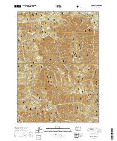
2020 Map of Rigdon Point
USGS Topo · Published 2020About this map
Rigdon Meadows sits at the northern edge of this high-elevation landscape, where the Middle Fork and several tributary creeks carve through the divide between the Willamette National Forest and the Umpqua National Forest. The map documents a complex system of timber and forest service access roads weaving around prominent summits like McLean Mtn and McGowan Mtn. Notable water features such as Lizard Lake and Chuckle Springs provide specific points of interest within the broader drainage basins of Echo Cr and the N Fork Staley Cr. The southern boundary follows the crest of the Calapooya Mountains, marking the physical and administrative transition into the Umpqua basin. Landmarks like Lighthouse Rock and Rigdon Point serve as key navigational anchors in this heavily forested terrain, illustrating the land-use patterns of the Cascade Range in the twenty-first century.
Find a feature on this map
33 named features on this map. Tap any name to fly to it.
Don’t see what you’re looking for? This feature index may not catch every label — zoom into the map to look around manually.
Map Details
Editions of this 2020 Rigdon Point Map
This is the sole edition of this map. No revisions or reprints were ever made.
Other maps of this area

1917 · Diamond Lake
USGS Topo · 1:125,000

1925 · Waldo Lake
USGS Topo · 1:125,000

1956 · Toketee Falls
USGS Topo · 1:62,500

1956 · Waldo Lake
USGS Topo · 1:62,500

1956 · Summit Lake
USGS Topo · 1:62,500

1956 · Oakridge
USGS Topo · 1:62,500

1958 · Roseburg
USGS Topo · 1:250,000

1959 · Roseburg
USGS Topo · 1:250,000

1978 · Diamond Lake
USGS Topo · 1:100,000

1983 · Oakridge
USGS Topo · 1:100,000