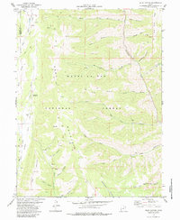
1979 Map of Rilda Canyon
USGS Topo · Published 1984About this map
The high plateau country of the Manti-La Sal National Forest is defined by deep incisions and resource extraction in the late 1970s. The landscape is dominated by a series of parallel drainages, most notably Rilda Canyon and Mill Fork, where several Mines are noted along the steep canyon walls. This survey captures a moment when the canyon floors served as primary arteries for energy production and cattle management, evidenced by the network of jeep trails and numerous marked drill holes scattered across the uplands.
Find a feature on this map
39 named features on this map. Tap any name to fly to it.
Don’t see what you’re looking for? This feature index may not catch every label — zoom into the map to look around manually.
Map Details
Editions of this 1979 Rilda Canyon Map
2 editions found
Other maps of this area

1885 · Manti
USGS Topo · 1:250,000

1895 · Manti
USGS Topo · 1:250,000

1923 · Scofield
USGS Topo · 1:62,500

1923 · Hiawatha
USGS Topo · 1:62,500

1925 · Scofield
USGS Topo · 1:62,500

1925 · Hiawatha
USGS Topo · 1:62,500

1956 · Price
USGS Topo · 1:250,000

1960 · Price
USGS Topo · 1:250,000

1962 · Price
USGS Topo · 1:250,000

1965 · Huntington Reservoir
USGS Topo · 1:24,000