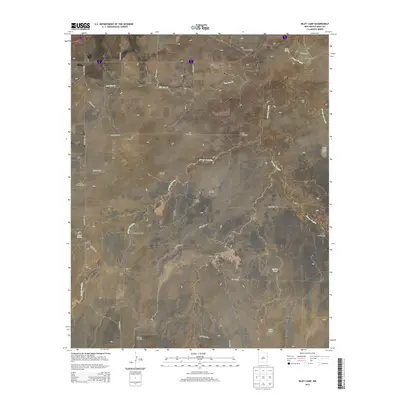
2013 Map of Riley Camp
USGS Topo · Published 2013About this map
Arroyo Saladito and Arroyo Trujillo carve their way through this section of the New Mexico plains, defining a landscape where water management is the primary marker of human presence. The survey area near Morgan is dotted with a network of vital windmills, including the Wheat Windmill, Berrendo Windmill, and Charley White Windmill, which support the scattered ranching operations characteristic of Quay County.
Find a feature on this map
40 named features on this map. Tap any name to fly to it.
Don’t see what you’re looking for? This feature index may not catch every label — zoom into the map to look around manually.
Map Details
Editions of this 2013 Riley Camp Map
This is the sole edition of this map. No revisions or reprints were ever made.
Other maps of this area

1954 · Tucumcari
USGS Topo · 1:250,000

1954 · Clovis
USGS Topo · 1:250,000

1958 · Clovis
USGS Topo · 1:250,000

1958 · Tucumcari
USGS Topo · 1:250,000

1968 · Porter
USGS Topo · 1:24,000

1968 · Rock Camp
USGS Topo · 1:24,000

1968 · Riley Camp
USGS Topo · 1:24,000

1968 · San Jon
USGS Topo · 1:24,000

1968 · Bard
USGS Topo · 1:24,000

1968 · Glenrio
USGS Topo · 1:24,000