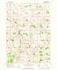
1965 Map of Riley
USGS Topo · Published 1967About this map
Riley and Bengal Center anchor this mid-1960s survey of rural Clinton County, Michigan, revealing a landscape defined by an intricate network of agricultural drainage and small-town communal landmarks. The map shows a transition from the mid-century farming era, where the rural grid is dotted with several family and community burial grounds including Oak Ridge Cem and Georgia Cem. Educational and social hubs such as St Peters Sch and the Grange Hall appear alongside the local Townhall, illustrating the social fabric of the townships of Dallas, Bengal, and Westphalia.
Find a feature on this map
55 named features on this map. Tap any name to fly to it.
Don’t see what you’re looking for? This feature index may not catch every label — zoom into the map to look around manually.
Map Details
Editions of this 1965 Riley Map
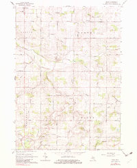
2 editions found
Other maps of this area

1918 · Perrinton
USGS Topo · 1:62,500

1927 · De Witt
USGS Topo · 1:62,500

1943 · Perrinton
USGS Topo · 1:62,500

1945 · Portland
USGS Topo · 1:62,500

1954 · Midland
USGS Topo · 1:250,000

1958 · Midland
USGS Topo · 1:250,000

1958 · Grand Rapids
USGS Topo · 1:250,000

1959 · Midland
USGS Topo · 1:250,000

1961 · Grand Rapids
USGS Topo · 1:250,000

1962 · Grand Rapids
USGS Topo · 1:250,000
Featured Places
- Riley, Riley Township
- Fowler, Dallas Township
- Riley Township, MI
- Bengal Township, MI
- Dallas Township, MI