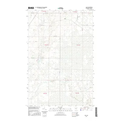
2016 Map of Riley
USGS Topo · Published 2016About this map
Riley stands as a focal point in this Saint Louis County landscape, situated at a junction of rural routes and the northern edge of a extensive wetland network. The area's geography is defined by the winding course of the W Swan River, which drains the southern portions of the quadrangle. A system of family-named roads, such as Anderson Rd, Gust Erickson Rd, and A Matson Rd, reveals a pattern of local homesteading and land ownership characteristic of this part of Minnesota. To the west, Harriett Lake and Little Harriett Lake provide clear markers amidst the low-lying terrain. The transition from the more developed northern road grid, including Meadowlands Trunk Rd, to the more saturated southern marshes illustrates the drainage challenges and land-use patterns common to the Mesabi Range periphery in the early 21st century.
Find a feature on this map
27 named features on this map. Tap any name to fly to it.
Don’t see what you’re looking for? This feature index may not catch every label — zoom into the map to look around manually.
Map Details
Editions of this 2016 Riley Map
This is the sole edition of this map. No revisions or reprints were ever made.
Other maps of this area

1951 · Hibbing
USGS Topo · 1:24,000

1951 · Buhl
USGS Topo · 1:24,000

1952 · Keewatin
USGS Topo · 1:24,000

1952 · Riley
USGS Topo · 1:24,000

1952 · Silica
USGS Topo · 1:24,000

1952 · Little Swan
USGS Topo · 1:24,000

1954 · Hibbing
USGS Topo · 1:250,000

1957 · Hibbing
USGS Topo · 1:250,000

1957 · Hibbing
USGS Topo · 1:24,000

1958 · Hibbing
USGS Topo · 1:250,000