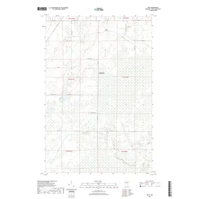
2019 Map of Riley
USGS Topo · Published 2019About this map
The settlement of Riley sits at the northern end of this Saint Louis County landscape, characterized by an extensive network of wetlands and small water bodies. Much of the central and southern terrain is defined by the marshy reaches of the W Swan River, which winds through a series of township and range sections. The map reveals a high density of rural infrastructure, with numerous local roads like Bunker Rd, Anderson Rd, and Meadowlands Trunk Rd providing access to the interior.
Find a feature on this map
28 named features on this map. Tap any name to fly to it.
Don’t see what you’re looking for? This feature index may not catch every label — zoom into the map to look around manually.
Map Details
Editions of this 2019 Riley Map
This is the sole edition of this map. No revisions or reprints were ever made.
Other maps of this area

1951 · Hibbing
USGS Topo · 1:24,000

1951 · Buhl
USGS Topo · 1:24,000

1952 · Keewatin
USGS Topo · 1:24,000

1952 · Riley
USGS Topo · 1:24,000

1952 · Silica
USGS Topo · 1:24,000

1952 · Little Swan
USGS Topo · 1:24,000

1954 · Hibbing
USGS Topo · 1:250,000

1957 · Hibbing
USGS Topo · 1:250,000

1957 · Hibbing
USGS Topo · 1:24,000

1958 · Hibbing
USGS Topo · 1:250,000