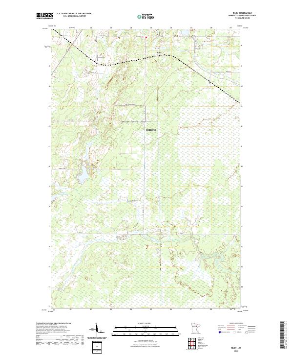
2022 Map of Riley
USGS Topo · Published 2022About this map
W Swan River meanders through this portion of Saint Louis County, defining a landscape of low-lying wetlands and scattered upland homesteads in the early 2020s. The small settlement of Riley sits near the northern boundary, surrounded by a network of rural routes named for local families and early settlers. Names like A Matson Rd, Gust Erickson Rd, and Koivu Rd suggest the Scandinavian heritage common to Minnesota's Iron Range region. The township lines for t56n r21w and t56n r20w intersect near the center of the sheet, where portions of the Hibbing city limits extend into the southern reaches of this primarily rural quadrangle. The hydrography is dominated by the river's winding path and Little Harriett Lake, providing a clear record of the area's drainage patterns and original land divisions.
Find a feature on this map
27 named features on this map. Tap any name to fly to it.
Don’t see what you’re looking for? This feature index may not catch every label — zoom into the map to look around manually.
Map Details
Editions of this 2022 Riley Map
This is the sole edition of this map. No revisions or reprints were ever made.
Other maps of this area

1951 · Hibbing
USGS Topo · 1:24,000

1951 · Buhl
USGS Topo · 1:24,000

1952 · Keewatin
USGS Topo · 1:24,000

1952 · Riley
USGS Topo · 1:24,000

1952 · Silica
USGS Topo · 1:24,000

1952 · Little Swan
USGS Topo · 1:24,000

1954 · Hibbing
USGS Topo · 1:250,000

1957 · Hibbing
USGS Topo · 1:250,000

1957 · Hibbing
USGS Topo · 1:24,000

1958 · Hibbing
USGS Topo · 1:250,000