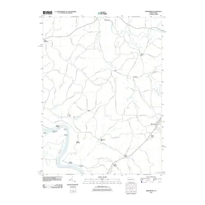
2010 Map of Rimersburg
USGS Topo · Published 2010About this map
The Allegheny River carves a deep horseshoe through the southwestern portion of this landscape, framing Bald Eagle Island and providing a geographic anchor for riverfront settlements like Upper Hillville, Lower Hillville, and Sarah Furnace. This area is defined by its industrial and agricultural legacy, where the rugged terrain along Catfish Run and Black Fox Run supported mining operations such as the Blue Goose Mine and Eagle Mine.
Find a feature on this map
91 named features on this map. Tap any name to fly to it.
Don’t see what you’re looking for? This feature index may not catch every label — zoom into the map to look around manually.
Map Details
Editions of this 2010 Rimersburg Map
This is the sole edition of this map. No revisions or reprints were ever made.
Other maps of this area

1900 · Kittanning
USGS Topo · 1:62,500

1901 · Rural Valley
USGS Topo · 1:62,500

1902 · Kittanning
USGS Topo · 1:62,500

1903 · Rural Valley
USGS Topo · 1:62,500

1906 · Clarion
USGS Topo · 1:62,500

1907 · Clarion
USGS Topo · 1:62,500

1907 · Foxburg
USGS Topo · 1:62,500

1908 · Foxburg
USGS Topo · 1:62,500

1953 · Pittsburgh
USGS Topo · 1:250,000

1954 · Pittsburgh
USGS Topo · 1:250,000