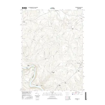
2016 Map of Rimersburg
USGS Topo · Published 2016About this map
Rimersburg serves as a primary hub in this portion of Clarion County, where the topography transitions into the steep drainages feeding the Allegheny River. Along the southern edge of the map, the settlements of Catfish and Sarah Furnace sit tucked against the river bend, while the small islands of Bald Eagle Island break the water's flow. The landscape is defined by its numerous small hamlets and the remnants of rural industry, such as the namesake site of Kissingers Mill on Catfish Run.
Find a feature on this map
116 named features on this map. Tap any name to fly to it.
Don’t see what you’re looking for? This feature index may not catch every label — zoom into the map to look around manually.
Map Details
Editions of this 2016 Rimersburg Map
This is the sole edition of this map. No revisions or reprints were ever made.
Other maps of this area

1900 · Kittanning
USGS Topo · 1:62,500

1901 · Rural Valley
USGS Topo · 1:62,500

1902 · Kittanning
USGS Topo · 1:62,500

1903 · Rural Valley
USGS Topo · 1:62,500

1906 · Clarion
USGS Topo · 1:62,500

1907 · Clarion
USGS Topo · 1:62,500

1907 · Foxburg
USGS Topo · 1:62,500

1908 · Foxburg
USGS Topo · 1:62,500

1953 · Pittsburgh
USGS Topo · 1:250,000

1954 · Pittsburgh
USGS Topo · 1:250,000