2023 Map of Rimersburg
USGS Topo · Published 2023About this map
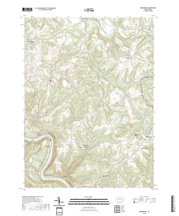
The Allegheny River carves a deep loop through this corner of Clarion County, marking the boundary with Armstrong County and defining the industrial and social geography of the region. Sarah Furnace and the settlement of Catfish sit at the river's edge, recalling an era when water-side industry and furnace operations were the backbone of the local economy. Further inland, the map captures a landscape of rural ridge-top communities such as Rimersburg and West Freedom, connected by an intricate network of narrow roads like McNaughton Rd and Monterey Rd.
Find a feature on this map
85 named features on this map. Tap any name to fly to it.
Don’t see what you’re looking for? This feature index may not catch every label — zoom into the map to look around manually.
Map Details
Editions of this 2023 Rimersburg Map
This is the sole edition of this map. No revisions or reprints were ever made.