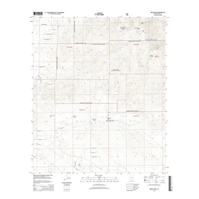
2014 Map of Rincon Peak
USGS Topo · Published 2014About this map
Rincon Peak and the high desert summits of the Rincon Mountains dominate this 2014 survey of Pima County. The map details a landscape defined by the transition from the low-lying Rincon Valley to the protected wilderness of Saguaro National Park and Coronado National Forest. This region is a critical watershed for the desert below, evidenced by numerous named water sources such as Bear Wallow Spring, Aliso Spring, and Lion Spring that feed into Agua Verde Cr.
Find a feature on this map
46 named features on this map. Tap any name to fly to it.
Don’t see what you’re looking for? This feature index may not catch every label — zoom into the map to look around manually.
Map Details
Editions of this 2014 Rincon Peak Map
This is the sole edition of this map. No revisions or reprints were ever made.
Other maps of this area

1904 · Patagonia
USGS Topo · 1:125,000

1904 · Tucson
USGS Topo · 1:125,000

1905 · Patagonia
USGS Topo · 1:125,000

1905 · Tucson
USGS Topo · 1:125,000

1915 · Benson
USGS Topo · 1:125,000

1926 · Whetstone
USGS Topo · 1:62,500

1943 · Benson
USGS Topo · 1:125,000

1945 · Happy Valley
USGS Topo · 1:62,500

1956 · Nogales
USGS Topo · 1:250,000

1956 · Tucson
USGS Topo · 1:250,000