1966 Map of Rincon
USGS Topo · Published 1969About this map
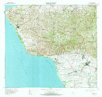
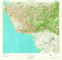
Rincón and its surrounding coastal barrios define this western coastline of Puerto Rico during the mid-1960s. The landscape transitions from the rugged interior heights of Atalaya and Pico Atalaya down to the extensive marshlands and alluvial plains of the Río Cañas and Añasco Abajo. Significant industrial and infrastructure landmarks are evident, including the Planta Nuclear at the northwestern tip near Pta Higüero and the Central Gualdad sugar mill complex in the south. The agricultural heritage of the region is further represented by Hacienda Eugenia and numerous rural schools that served the dispersed communities of Cruces and Piedras Blancas. Religious life is documented through a network of chapels such as Capilla La Virgen de Monserrate and Capilla Santa Rita. In the south, the early footprint of the Aeropuerto de Mayagüez appears near the wetlands of Ciénaga Isabel.
Find a feature on this map
115 named features on this map. Tap any name to fly to it.
Don’t see what you’re looking for? This feature index may not catch every label — zoom into the map to look around manually.
Map Details
Editions of this 1966 Rincon Map
2 editions found
Historical Maps of Añasco Through Time
15 maps found

1941 Rincon
Rincón Municipio, PR

1941 Rincon
Rincón Municipio, PR

1947 Rincon
Rincón Municipio, PR

1947 Rincon
Rincón Municipio, PR
1949 Rincon
Rincón Municipio, PR
1950 Rincon NO
Rincón Municipio, PR
1950 Rincon ONO
Rincón Municipio, PR
1955 Rincon
Rincón Municipio, PR
1966 Rincon
Rincón Municipio, PR
2013 Rincon OE W
Rincón Municipio, PR
2013 Rincon
Rincón Municipio, PR
2018 Rincon OE W
Rincón Municipio, PR
2018 Rincon
Rincón Municipio, PR
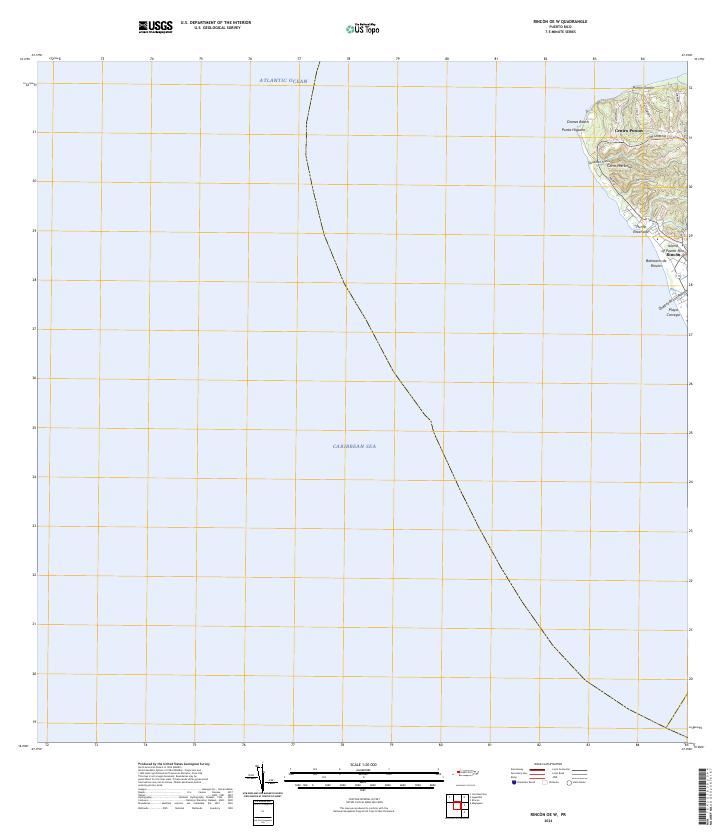
2024 Rincon OE W
Rincón Municipio, PR
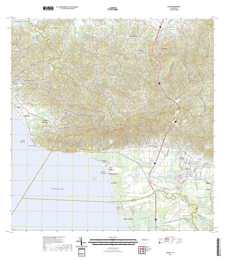
2024 Rincon
Rincón Municipio, PR
Featured Locations
- Villas del Río Ingenio, Aguada
- Sector García, Aguada
- Sector Pilar Figueroa, Aguada
- Rincón, Rincón
- Añasco, Añasco