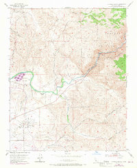
1954 Map of Rio Bravo Ranch
USGS Topo · Published 1970About this map
Rio Bravo Ranch and the winding Kern River corridor define this section of the Kern County landscape as it transitioned in the mid-20th century. The map illustrates a multifaceted land use pattern, where recreation at Kern River State Park and its Golf Course sits in close proximity to the industrial extraction of the Ant Hill Oil Field. Heavy infrastructure like the Powerhouse and its associated penstocks along the river contrast with the undeveloped terrain of the Sequoia National Forest to the northeast. Local history and geography are marked by the Father Garces Monument and prominent natural features like Pyramid Hill. The network of Pipe Lines, Oil Wells, and transportation routes like the Alfred Harrell Highway reveals the vital role of petroleum and water management in shaping the region's development.
Find a feature on this map
27 named features on this map. Tap any name to fly to it.
Don’t see what you’re looking for? This feature index may not catch every label — zoom into the map to look around manually.
Map Details
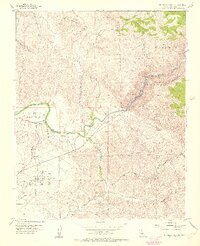
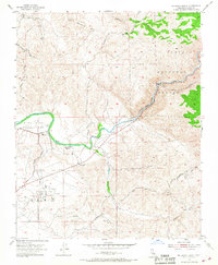
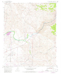
Editions of this 1954 Rio Bravo Ranch Map
4 editions found
Other maps of this area

1906 · Bakersfield
USGS Topo · 1:62,500

1914 · Caliente
USGS Topo · 1:125,000

1920 · Delonagha
USGS Topo · 1:62,500

1926 · Glennville
USGS Topo · 1:62,500

1929 · Bena
USGS Topo · 1:31,680

1929 · Fairfax School
USGS Topo · 1:31,680

1931 · Edison
USGS Topo · 1:31,680

1932 · Bena
USGS Topo · 1:31,680

1932 · Fairfax School
USGS Topo · 1:31,680

1932 · Woody
USGS Topo · 1:62,500