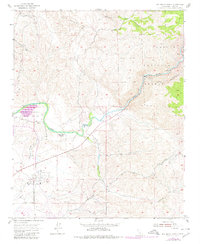
1954 Map of Rio Bravo Ranch
USGS Topo · Published 1980About this map
Rio Bravo Ranch sits at the heart of this landscape where the Kern River transitions from its steep canyon descent into the foothills of the southern Sierra Nevada. The terrain reflects a complex managed environment, highlighted by an extensive Aqueduct (Tunnel) system and penstocks leading to a riverside Powerhouse. Local heritage is marked by the Father Garces Monument, commemorating early exploration of the region, while the Ant Hill Oil Field and scattered Gravel Pits indicate the industrial priorities of mid-century Kern County. Recreational and conservation boundaries are firmly established between the Kern River State Park and the rugged southern reaches of the Sequoia National Forest. Notable landmarks like Pyramid Hill provide vertical relief in an area crisscrossed by historic routes such as Rancheria Road and Breckenridge Road.
Find a feature on this map
19 named features on this map. Tap any name to fly to it.
Don’t see what you’re looking for? This feature index may not catch every label — zoom into the map to look around manually.
Map Details
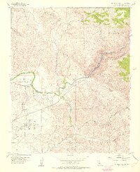
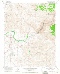
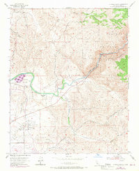
Editions of this 1954 Rio Bravo Ranch Map
4 editions found
Other maps of this area

1906 · Bakersfield
USGS Topo · 1:62,500

1914 · Caliente
USGS Topo · 1:125,000

1920 · Delonagha
USGS Topo · 1:62,500

1926 · Glennville
USGS Topo · 1:62,500

1929 · Bena
USGS Topo · 1:31,680

1929 · Fairfax School
USGS Topo · 1:31,680

1931 · Edison
USGS Topo · 1:31,680

1932 · Bena
USGS Topo · 1:31,680

1932 · Fairfax School
USGS Topo · 1:31,680

1932 · Woody
USGS Topo · 1:62,500